Code: 02480550
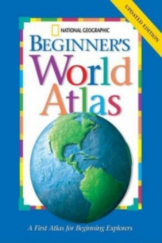
National Geographic Beginners World Atlas
by National Geographic Society
National Geographic has updated all the political maps and statistics in its award-winning Beginner's World Atlas. The Society's world-renowned cartographers, working with education consultants and geographers have created a state ... more
- Language:
 English
 - Binding: Hardback
- Number of pages: 64
Publisher: National Geographic Kids, 2005
- More about this

15.81 €
Availability:
50/50 We think title might be available. Upon your order we will do our best to get it within 6 weeks.
We search the world
You might also like
-

Berserk Deluxe Volume 1
48.58 € -5 % -

Haunting Adeline
30.81 € -

Berserk Deluxe Volume 2
52.48 € -

Berserk Deluxe Volume 3
51.86 € -

Atomic Habits
16.01 € -15 % -

Cry Baby Coloring Book
11.49 € -

House of Leaves
23.51 € -22 % -

Powerless
11.91 € -9 % -

The Official Stardew Valley Cookbook
26.08 € -9 % -

Harry Potter and the Prisoner of Azkaban (Minalima Edition)
41.80 € -

Chainsaw Man, Vol. 15
13.14 € -3 % -

JUJUTSU KAISEN V22
13.24 € -2 % -

Hunting Adeline
31.94 € -

Iron Flame
16.53 € -24 % -

White Nights
3.58 € -24 % -

Gravity Falls Journal 3
18.38 € -16 % -

Berserk Deluxe Volume 5
52.48 € -

Berserk Deluxe Volume 4
48.37 € -5 % -

Bungo Stray Dogs, Vol. 8 (light novel)
16.63 € -

Twisted Love
9.75 € -19 % -

Surrounded by Idiots
10.78 € -11 %
Give this book as a present today
- Order book and choose Gift Order.
- We will send you book gift voucher at once. You can give it out to anyone.
- Book will be send to donee, nothing more to care about.
Availability alert
Enter your e-mail address and once book will be available,
we will send you a message. It's that simple.
More about National Geographic Beginners World Atlas
You get 39 loyalty points
 Book synopsis
National Geographic has updated all the political maps and statistics in its award-winning Beginner's World Atlas. The Society's world-renowned cartographers, working with education consultants and geographers have created a state-of-the-art world atlas for children ages 5 to 8. Large, easy-to-read maps introduce youngsters to the world and each of its continents. Full-colour photographs, carefully selected for their appeal to young children, supplement the maps and make people, places, and natural wonders come to life. Through simple but fact-filled text, children begin exploring the world by learning about maps and how to read them. Then they begin their continent-by-continent tour. Each continent begins with a welcome from a young native child, followed by an illustrated physical map with brief bulleted discussions of land regions, water, climate, plants, and animals. Similar treatment is given to the political map except the topics are countries, cities, people, languages, and products. Each spread features full-colour images that are keyed to the maps. Backmatter includes a map keyed to a chart of geographic superlatives, a glossary, a pronunciation guide, and an index.
 Book details
Book category Books in English Children's, Teenage & educational Reference material (Children's / Teenage) Reference works (Children's / Teenage)
15.81 €
- Full title: National Geographic Beginners World Atlas
- Author: National Geographic Society
- Language:
 English
 - Binding: Hardback
- Number of pages: 64
- EAN: 9780792242055
- ISBN: 079224205X
- ID: 02480550
- Publisher: National Geographic Kids
- Weight: 270 g
- Dimensions: 357 × 278 × 11 mm
- Date of publishing: 30. December 2005
Collection points Bratislava a 2642 dalších
Copyright ©2008-24 najlacnejsie-knihy.sk All rights reservedPrivacyCookies


 15549 collection points
 Delivery 2.99 €
 02/210 210 99 (8-15.30h)