Kód: 38573177
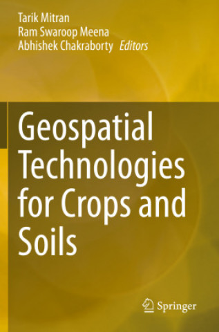
Geospatial Technologies for Crops and Soils
Autor Tarik Mitran, Ram Swaroop Meena, Abhishek Chakraborty
The sustainable development of the agriculture sector is the only option to meet the demands of increased and economically viable production in a changing climate. This means there is a need to introduce the latest technologies to ... celý popis
- Jazyk:
 Angličtina
 - Väzba: Brožovaná
- Počet strán: 521
Nakladateľ: Springer, Berlin, 2021
- Viac informácií o knihe

Mohlo by sa vám tiež páčiť
-

Dune
12.98 € -

Haunting Adeline
30.64 € -

Berserk Deluxe Volume 2
52.15 € -

White Nights
3.54 € -24 % -

Powerless
12.47 € -3 % -

Atomic Habits
16.02 € -30 % -

Dune Messiah
9.02 € -19 % -

Berserk Deluxe Volume 3
53.98 € -

One Day
11.05 € -23 % -

Berserk Deluxe Volume 1
44.54 € -12 % -

Iron Flame
16.33 € -24 % -

Surrounded by Idiots
11.15 € -25 % -

Harry Potter and the Prisoner of Azkaban (Minalima Edition)
27.59 € -32 % -

Gravity Falls Journal 3
21.91 € -

Heaven Official's Blessing: Tian Guan Ci Fu (Novel) Vol. 1
21.81 € -

The Creative Act
24.04 € -12 % -

Dune
9.73 € -24 % -

Hunting Adeline
31.96 € -

A Little Life
17.55 € -

Children of Dune
9.53 € -15 % -

Heaven Official's Blessing: Tian Guan Ci Fu (Novel) Vol. 2
20.39 € -3 %
Darujte túto knihu ešte dnes
- Objednajte knihu a vyberte Zaslať ako darček.
- Obratom obdržíte darovací poukaz na knihu, ktorý môžete ihneď odovzdať obdarovanému.
- Knihu zašleme na adresu obdarovaného, o nič sa nestaráte.
Viac informácií o knihe Geospatial Technologies for Crops and Soils
Nákupom získate 616 bodov
 Anotácia knihy
The sustainable development of the agriculture sector is the only option to meet the demands of increased and economically viable production in a changing climate. This means there is a need to introduce the latest technologies to enhance production, and also help policymakers make decisions for the future. Geospatial technologies & tools, such as remote sensing, geographical information systems (GIS), global positioning systems (GPS), and mobile & web applications, provide unique capabilities to analyze multi-scale, multi-temporal datasets, and support decision-making in sustainable agriculture development and natural resources management. Further, the availability of reliable and timely geospatial information on natural resources and environmental conditions is essential for sustainable agricultural development and food security. Since remote sensing solutions are fast, non-destructive and have large spatial coverage, they can play a significant role in the identification, inventory, and mapping of land resources. Over the past four decades, remote sensing has proved to be a cost-effective and powerful tool to assess crop and soil properties in varying spatial and temporal scales using both visual and digital techniques. Satellite remote sensing coupled with GIS & mobile-app based positional information has emerged as an efficient tool for optimizing input resources, and minimizing cost of production and risk of biotic/ abiotic factors nature to promote sustainable agriculture. This book comprehensively documents the applications of space-based technologies for crop and soil assessments for the sustainable development of agriculture.
 Parametre knihy
Zaradenie knihy Knihy po anglicky Earth sciences, geography, environment, planning Geography Biogeography
246.90 €
- Celý názov: Geospatial Technologies for Crops and Soils
- Autor: Tarik Mitran, Ram Swaroop Meena, Abhishek Chakraborty
- Jazyk:
 Angličtina
 - Väzba: Brožovaná
- Počet strán: 521
- EAN: 9789811568664
- ID: 38573177
- Nakladateľ: Springer, Berlin
- Hmotnosť: 961 g
- Rozmery: 24 × 155 × 235 mm
- Rok vydania: 2021
Osobný odber Bratislava a 2642 dalších
Copyright ©2008-24 najlacnejsie-knihy.sk Všetky práva vyhradenéSúkromieCookies


 21 miliónov titulov
 Vrátenie do mesiaca
 02/210 210 99 (8-15.30h)