Kód: 06841384
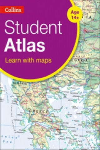
Collins Student Atlas
Autor Collins Maps
Completely new and extended edition of the best-selling Collins Student Atlas. Created specifically for Key Stage 4 students, and a vital tool for all students. Collins Student Atlas (Fifth edition), has been specifically designed ... celý popis
- Jazyk:
 Angličtina
 - Väzba: Brožovaná
- Počet strán: 208
Nakladateľ: Collins, 2015
- Viac informácií o knihe

23.02 €
Dostupnosť:
50 % šanca Máme informáciu, že by titul mohol byť dostupný. Na základe vašej objednávky sa ho pokúsime do 6 týždňov zabezpečiť.
Prehľadáme celý svet
Mohlo by sa vám tiež páčiť
Darčekový poukaz: Radosť zaručená
- Darujte poukaz v ľubovoľnej hodnote, a my sa postaráme o zvyšok.
- Poukaz sa vzťahuje na všetky produkty v našej ponuke.
- Elektronický poukaz si vytlačíte z e-mailu a môžete ho ihneď darovať.
- Platnosť poukazu je 12 mesiacov od dátumu vystavenia.
Informovať o naskladnení knihy
Zadajte do formulára e-mailovú adresu a akonáhle knihu naskladníme, zašleme vám o tom správu. Postrážime všetko za vás.
Viac informácií o knihe Collins Student Atlas
Nákupom získate 58 bodov
 Anotácia knihy
Completely new and extended edition of the best-selling Collins Student Atlas. Created specifically for Key Stage 4 students, and a vital tool for all students. Collins Student Atlas (Fifth edition), has been specifically designed for students aged 14-16 years, however its well-researched uncluttered design makes it suitable for all students. This fifth edition has been extensively revised, updated and extended. It features up-to-date reference and thematic mapping, mapping skills, country-by-country statistics and a fully comprehensive index to all names appearing on reference maps. Thematic maps and accompanying graphs and tables adhere strictly to the National Curriculum guidelines and cover topics such as Tourism, Telecommunications, Environmental and socio-economic topics. All maps have been fully updated using the latest statistical information available. The inclusion of a selective list of web addresses on each thematic page ensures students are motivated to explore more deeply into a topic. High quality satellite imagery, which has been selectively used within special topic or study areas, supports data on the maps and is used to illustrate key environmental issues. Extensive lists of statistics for demographic and socio-economic facts provide up-to-date data for students wishing to create their own graphs to support individual geography, tourism, mathematics, economics or IT projects. New features * Development indicators * Pollution hotspots in the Mediterranean Sea * Urban pollution in Italy * World Agriculture * World Urbanization * World Climate Change * Low and Middle Economic Developing Countries * Ecological footprint
 Parametre knihy
Zaradenie knihy Knihy po anglicky Children's, Teenage & educational Reference material (Children's / Teenage) Atlases & maps (Children’s/Teenage)
23.02 €
- Celý názov: Collins Student Atlas
- Autor: Collins Maps
- Jazyk:
 Angličtina
 - Väzba: Brožovaná
- Počet strán: 208
- EAN: 9780007591381
- ISBN: 0007591381
- ID: 06841384
- Nakladateľ: Collins
- Hmotnosť: 694 g
- Rozmery: 227 × 312 × 7 mm
- Dátum vydania: 12. February 2015
Obľúbené z iného súdka
-

Big Book of the UK
16.28 € -23 % -

50 States
21.61 € -23 % -

Big Picture Atlas
16.28 € -23 % -
National Geographic Kids U.S. Atlas 2020
13.16 € -6 % -
Maps
24.93 € -19 % -
Maps Poster Book
14.17 € -23 % -
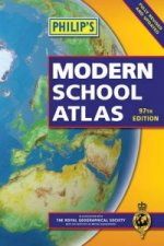
Philip's Modern School Atlas
19.70 € -
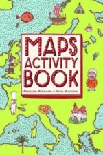
Maps Activity Book
10.95 € -23 % -
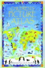
Children's Picture Atlas
10.95 € -23 % -
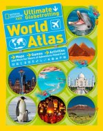
National Geographic Kids Ultimate Globetrotting World Atlas
12.36 € -13 % -

Oxford School Atlas
13.06 € -23 % -

Travel Book
30.96 € -

Oxford Student Atlas
17.29 € -23 % -

Oxford School Atlas
14.17 € -23 % -

Children's Wall Map of the United Kingdom and Ireland
7.53 € -13 % -

Oxford Very First Atlas
7.73 € -23 % -

Usborne Illustrated Atlas of Britain and Ireland
16.28 € -23 % -
National Geographic Kids World Atlas
22.01 € -13 % -

Oxford Student Atlas 2012
17.29 € -23 % -

Oxford International First Atlas (2011)
12.26 € -10 % -
Maps Special Edition
43.73 € -

Barefoot Books World Atlas
16.28 € -23 % -

Oxford International First Atlas Activity Book
7.83 € -
Children's Illustrated World Atlas
16.28 € -23 % -

National Geographic Student World Atlas Fourth Edition
11.65 € -
National Geographic Kids Beginner's World Atlas, 3rd Edition
14.47 € -
C48 First Atlas Book
12.76 € -37 % -

Atlas of the World Picture Book
14.47 € -

Washington DC Children's Map
5.72 € -4 % -

Guy Fox Maps for Children
5.72 € -4 % -
First Animal Picture Atlas
14.17 € -23 % -
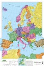
Map of Europe
24.02 € -5 % -

World Atlas
16.88 € -

My Pop-up World Atlas
21.31 € -

Our World
16.18 € -
First Atlas
18.89 € -

Atlas of Ocean Adventures
24.43 € -13 % -
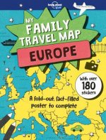
Lonely Planet Kids My Family Travel Map - Europe
21.01 € -

Oxford Primary Atlas
13.56 € -13 % -

Oxford First Atlas
12.36 € -13 % -
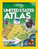
National Geographic Kids U.S. Atlas 2020
20.81 € -
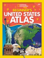
Beginner's U.S. Atlas 2020
15.98 € -13 % -
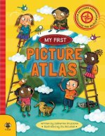
Picture Atlas
7.53 € -13 % -

Lonely Planet Kids Amazing World Atlas
18.39 € -13 % -
Illustrated Atlas of India
24.83 € -

Children's World Atlas
18.89 € -

The Kingfisher Atlas of World History
28.05 € -

National Geographic Little Kids First Big Book of the World
35.18 € -

First Picture Atlas
13.26 €
Osobný odber Bratislava a 2642 dalších
Copyright ©2008-24 najlacnejsie-knihy.sk Všetky práva vyhradenéSúkromieCookies


 21 miliónov titulov
 Vrátenie do mesiaca
 02/210 210 99 (8-15.30h)