Kód: 02480550
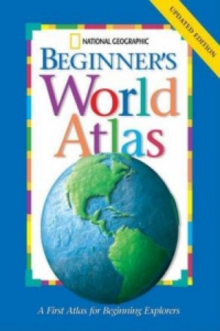
National Geographic Beginners World Atlas
Autor National Geographic Society
National Geographic has updated all the political maps and statistics in its award-winning Beginner's World Atlas. The Society's world-renowned cartographers, working with education consultants and geographers have created a state ... celý popis
- Jazyk:
 Angličtina
 - Väzba: Pevná
- Počet strán: 64
Nakladateľ: National Geographic Kids, 2005
- Viac informácií o knihe

16.23 €
Dostupnosť:
50 % šanca Máme informáciu, že by titul mohol byť dostupný. Na základe vašej objednávky sa ho pokúsime do 6 týždňov zabezpečiť.
Prehľadáme celý svet
Mohlo by sa vám tiež páčiť
-

Dune
9.57 € -21 % -

Haunting Adeline
30.65 € -

Berserk Deluxe Volume 2
51.83 € -

White Nights
3.52 € -

Powerless
12.50 € -2 % -

Atomic Habits
16.03 € -14 % -

Dune Messiah
11.29 € -

Berserk Deluxe Volume 3
53.65 € -

One Day
10.58 € -11 % -

Berserk Deluxe Volume 1
51.73 € -

Iron Flame
16.23 € -18 % -

Surrounded by Idiots
10.08 € -15 % -

Harry Potter and the Prisoner of Azkaban (Minalima Edition)
41.64 € -

Gravity Falls Journal 3
21.88 € -

Heaven Official's Blessing: Tian Guan Ci Fu (Novel) Vol. 1
21.67 € -

The Creative Act
26.01 € -5 % -

Dune
9.77 € -31 % -

Hunting Adeline
31.76 € -

A Little Life
17.54 € -

Children of Dune
11.39 € -

Heaven Official's Blessing: Tian Guan Ci Fu (Novel) Vol. 2
23.29 €
Darujte túto knihu ešte dnes
- Objednajte knihu a vyberte Zaslať ako darček.
- Obratom obdržíte darovací poukaz na knihu, ktorý môžete ihneď odovzdať obdarovanému.
- Knihu zašleme na adresu obdarovaného, o nič sa nestaráte.
Informovať o naskladnení knihy
Zadajte do formulára e-mailovú adresu a akonáhle knihu naskladníme, zašleme vám o tom správu. Postrážime všetko za vás.
Viac informácií o knihe National Geographic Beginners World Atlas
Nákupom získate 41 bodov
 Anotácia knihy
National Geographic has updated all the political maps and statistics in its award-winning Beginner's World Atlas. The Society's world-renowned cartographers, working with education consultants and geographers have created a state-of-the-art world atlas for children ages 5 to 8. Large, easy-to-read maps introduce youngsters to the world and each of its continents. Full-colour photographs, carefully selected for their appeal to young children, supplement the maps and make people, places, and natural wonders come to life. Through simple but fact-filled text, children begin exploring the world by learning about maps and how to read them. Then they begin their continent-by-continent tour. Each continent begins with a welcome from a young native child, followed by an illustrated physical map with brief bulleted discussions of land regions, water, climate, plants, and animals. Similar treatment is given to the political map except the topics are countries, cities, people, languages, and products. Each spread features full-colour images that are keyed to the maps. Backmatter includes a map keyed to a chart of geographic superlatives, a glossary, a pronunciation guide, and an index.
 Parametre knihy
Zaradenie knihy Knihy po anglicky Children's, Teenage & educational Reference material (Children's / Teenage) Reference works (Children's / Teenage)
16.23 €
- Celý názov: National Geographic Beginners World Atlas
- Autor: National Geographic Society
- Jazyk:
 Angličtina
 - Väzba: Pevná
- Počet strán: 64
- EAN: 9780792242055
- ISBN: 079224205X
- ID: 02480550
- Nakladateľ: National Geographic Kids
- Hmotnosť: 270 g
- Rozmery: 357 × 278 × 11 mm
- Dátum vydania: 30. December 2005
Osobný odber Bratislava a 2642 dalších
Copyright ©2008-24 najlacnejsie-knihy.sk Všetky práva vyhradenéSúkromieCookies


 21 miliónov titulov
 Vrátenie do mesiaca
 02/210 210 99 (8-15.30h)